Groundwater
“Groundwater” focuses on an extremely affected area in the San Joaquin Valley north of Fresno between the small farming communities of El Nido and Fairmead. Due to hydrological engineering, groundwater pumping and climate change over the past century, this area has sunk more than any other in the Central Valley. “Groundwater” is an effort to study this region and tell the polyvocal stories situating the climate crisis as lived experience. The project includes drawings, video, audio, scientific visual ephemera and installation.
Above: Central Valley Subsidence Data, USGS Water Science Center; Below: Photos by Leonardo Pirondi
EL NIDO
For the past one hundred years, farmers have been pumping groundwater for industrial agriculture in the San Joaquin Valley. The small farming communities of El Nido and Fairmead are a part of over five thousand square miles that have been sinking by as much as one foot per year since the United States Geological Survey (USGS) started measuring subsidence—the sinking of land caused by the slow collapse of an underground aquifer due to groundwater extraction and other factors— almost one hundred years ago. On a USGS interactive map of drought indicators, this area looks like a sinkhole the size of Connecticut, but while standing on the ground, the area is so vast that the subsidence is hardly recognizable.
In October of 2021, Incendiary Traces brought a team of artists, filmmakers, computer scientists, and a political scientist to meet activists in California’s rural San Joaquin Valley. We were seeking to gain perspective from the ground on subsidence, visiting El Nido, Fairmead, the Merced National Wildlife Refuge, and the Central Valley Project’s Friant Dam, which contains and diverts the San Joaquin River. The team sketched, photographed and recorded their observations on the ground throughout.
Human perspectives
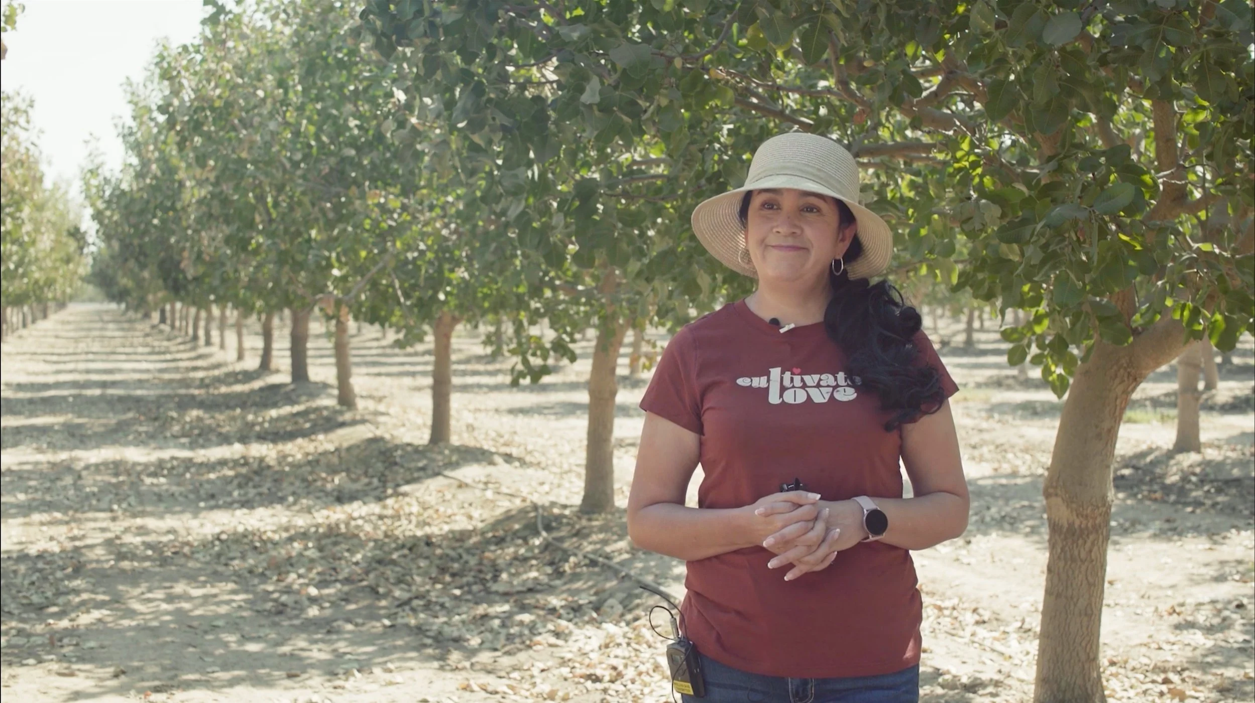
The Groundwater project collaborators interviewed local advocates Rosa Inguanzo, Angela Islas, and Vicki Ortiz, who are fighting to prioritize the human right to water for their severely impacted communities, and Madeline Yancey, a park ranger who told us how migratory bird species have relied on the area’s seasonal wetlands since the forty-mile-wide river covered the valley floor each spring. These are the stories of the groundwater in context—human, environmental, legal, political, and historical.
Groundwater, 2022: "El Nido" featuring Rosa Iguanzo; "Fairmead" featuring Vicki Ortiz; "Friant Dam" featuring Anglea Islas; "Merced National Wildlife Refuge" featuring Madeline Yancey; "An Offering" featuring Olivia Chumacero | Credits: Hillary Mushkin, Leonardo Pirondi, camera; Zazie Ray-Trapdo, sound; Heather Williams, interviews.
The River and the Grid
Part of Groundwater’s multi-perspective storytelling takes the form of a sequential drawing folio titled “The River and the Grid”. Over a two-year period, I led archival research alongside historian Brian Jacobson investigating the underlying historical conditions that contributed to the groundwater crisis. The team collected visual histories of the control of water in the San Joaquin Valley represented by maps, engineering diagrams, government surveys and other materials. Using these archival materials, I developed a folio of 6 large (26” h x 80” w) sequential drawings that visually depict the historical and modern impacts of groundwater subsidence.
Above: The River and the Grid sequential drawing folio, chapters 1-6; Below: details from The River and Grid | Photos: Evan Walsh.
Exhibition
Special thanks to everyone on the Groundwater project team, as well as all collaborators. Additional thanks to the Armory Center for the Arts, Getty PST, Heber Rodriguez and Irene Tsatsos for curating the Groundwater exhibition.
“Groundwater” 4-channel video installation and “The River and the Grid” sequential drawing folio in Getty PST art exhibition “From the Ground Up: Nurturing Diversity in Hostile Environments,”, Armory Center for the Arts, Aug. 9, 2024- Feb. 23, 2025. | Photo: Yubo Dong


