
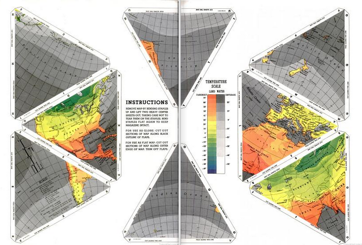
A look at American cartographic representations of WWII Europe, providing historical context for understanding our conception of global space.
Read MoreDrawing a Line: Encounters with the U.S.-Mexico Border
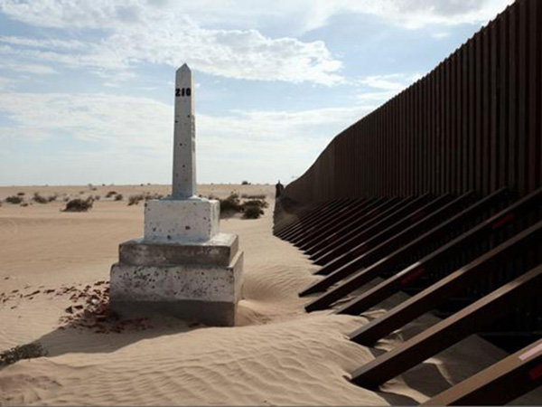
David Taylor, Boundary Monument No. 210, 2009. From the series Working the Line. Archival inkjet print, 31 x 24 in. | Photo courtesy of David Taylor
Susanna Newbury examines the history of the U.S./Mexico border and its geopolitical importance to the United States.
Read MoreDrawing with Satellites: Tracing Landscapes With a Mission

Project Haiti, screen shot | Courtesy of OpenStreetMap
Incendiary Traces considers crisis mapping as another form of visualization that can help us, as ordinary citizens, understand seemingly remote wars.
Read MoreThe Naval Gaze: (Sub)tropical Fantasies and Imperial Pacific Landscapes

Detail of Map of California shown as an island, Joan Vinckeboons, 1650 | Courtesy of Geography and Map Division, Library of Congress
Hillary Mushkin examines early European representations of the Southern California coast.
Read More